 Hand-drawn illustrated map of the Castle at Cabra in Ireland. This drawing represents the first in a series of five for Romantic Castles Ireland to be used on websites and printed matter for use by potential and actual guests. The isometric nature of the map was...
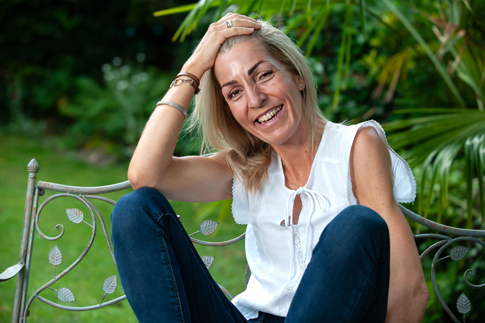 Photo shoot for the accredited break up and divorce coach Tori Lucas shot in the studio under lights and outside in the...
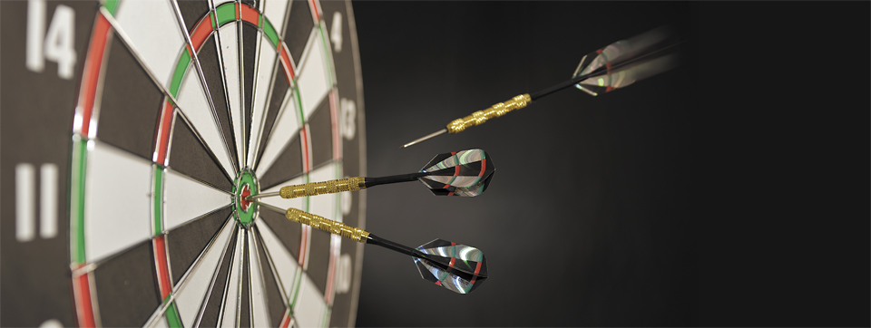 A variety of product photography images taken in a studio environment and on...
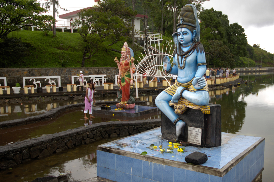 Here are a few landscape images take from a variety of locations around the world. I have been lucky enough to both live and visit the Southern Hemisphere and these pictures represent some of my favourite pictures in the medium of Location...
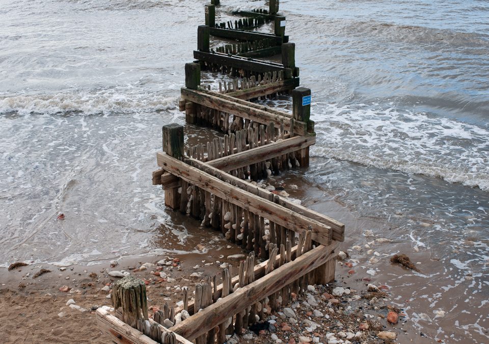 New landscape photography taken by Richard Bowring at various...
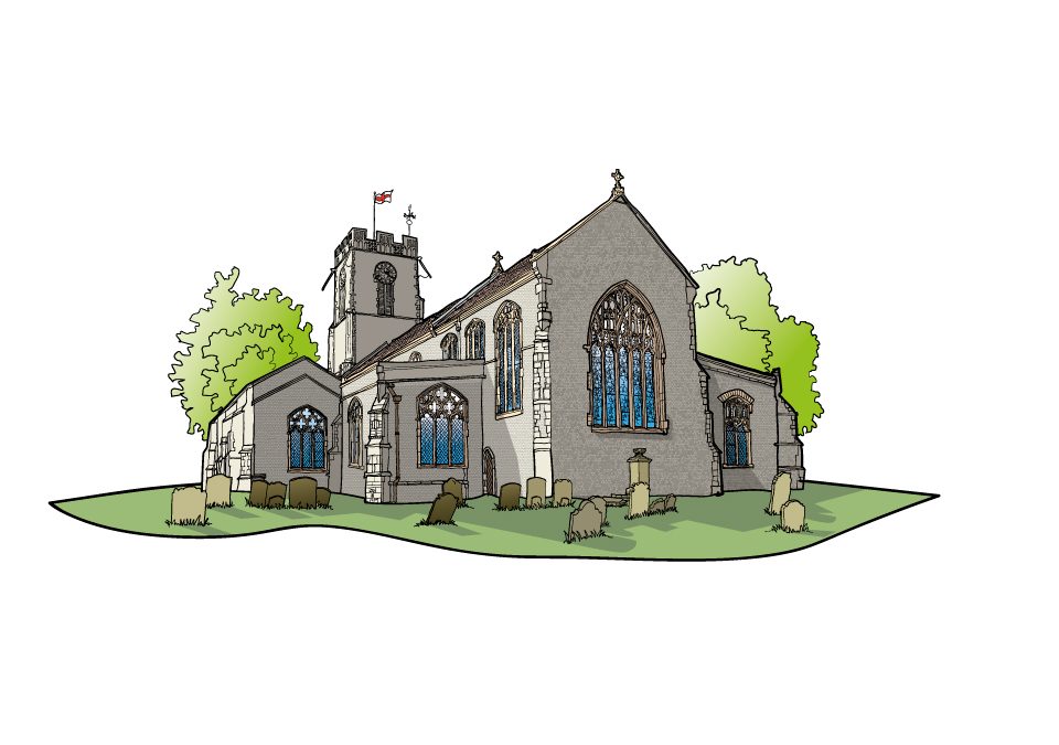 New illustrations and illustrated maps for a wayfinding project for the town of Halesworth in Suffolk. The project included reworking walking routes which leave from a central point in the...

 Commercial and wedding photography, illustration and graphic design services. Based in Cambridge.