

New landscape photography
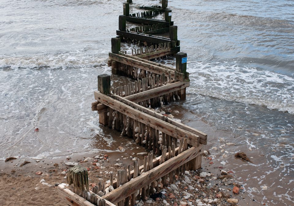
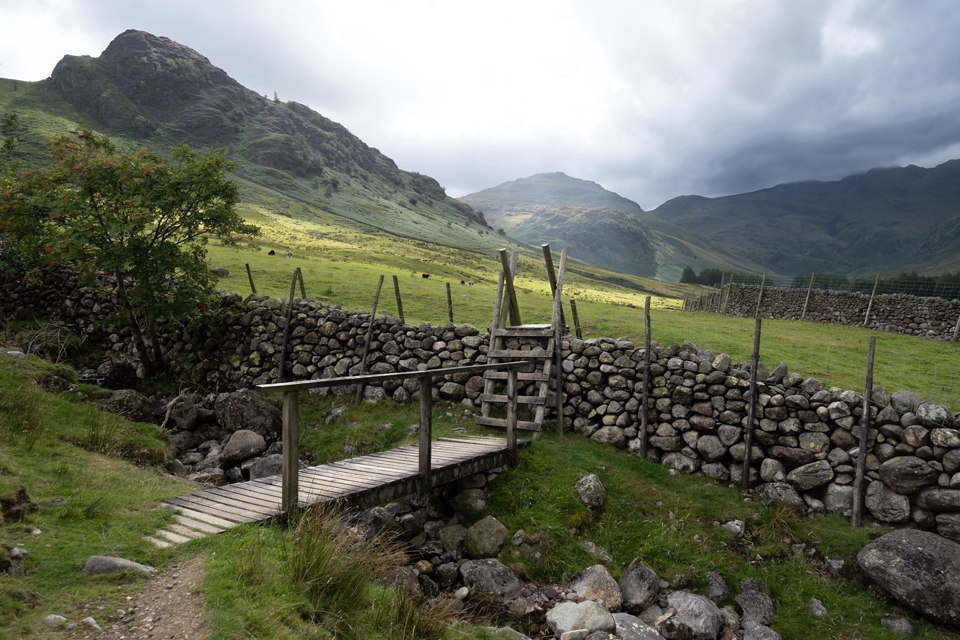
New landscape photography taken by Richard Bowring at various...
Illustration and design work for wayfinding project in Halesworth Suffolk
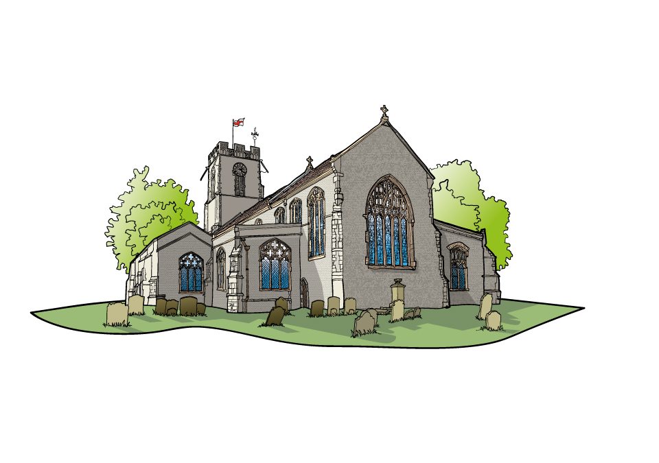
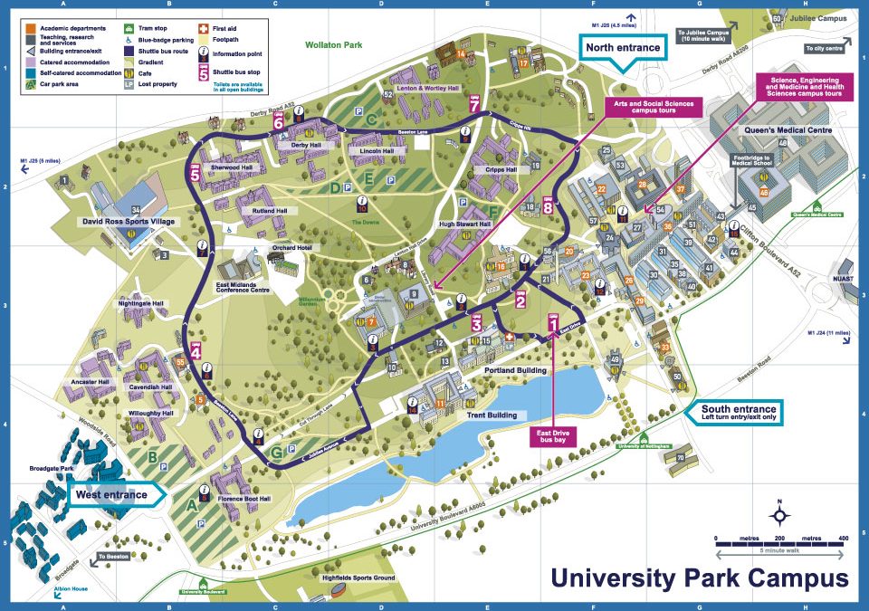
New illustrations and illustrated maps for a wayfinding project for the town of Halesworth in Suffolk. The project included reworking walking routes which leave from a central point in the...
New landscape images
Recent landscape photography from work that has taken me up and down the...

 Commercial and wedding photography, illustration and graphic design services. Based in Cambridge.