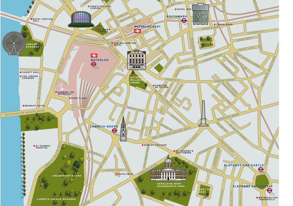
 The brief was to use 2d icons of recognisable buildings to publicise the area for potential tourists. This London illustrated map was commissioned by the organisation ‘we are waterloo’ and the cartographers Lovell Johns. This particular illustrated map was...
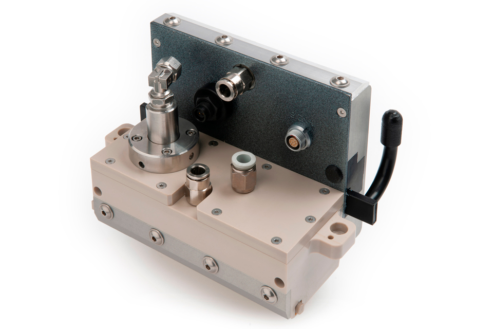 Product photography is a commercial form of still life photography used to showcase products in a way which highlights their features and benefits. Best used for print, ecommerce and social media. It involves careful staging, lighting, and camera settings to create...
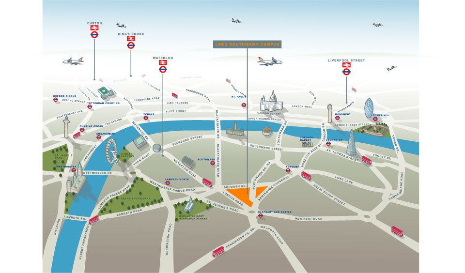 Illustrated map of South London (Southwark Campus of LSBU) and Havering Campus (Romford) This of illustrated map went through a number of incarnations before arriving at this finished result. The client wanted an illustrated map which worked in terms of being able to...

 Commercial and wedding photography, illustration and graphic design services. Based in Cambridge.