 Hand-drawn illustrated map of the Castle at Cabra in Ireland. This drawing represents the first in a series of five for Romantic Castles Ireland to be used on websites and printed matter for use by potential and actual guests. The isometric nature of the map was...
 Illustrated map of the golf course and local town of...
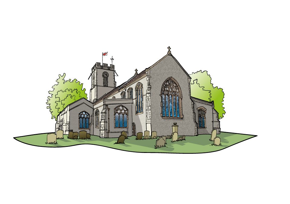 New illustrations and illustrated maps for a wayfinding project for the town of Halesworth in Suffolk. The project included reworking walking routes which leave from a central point in the...
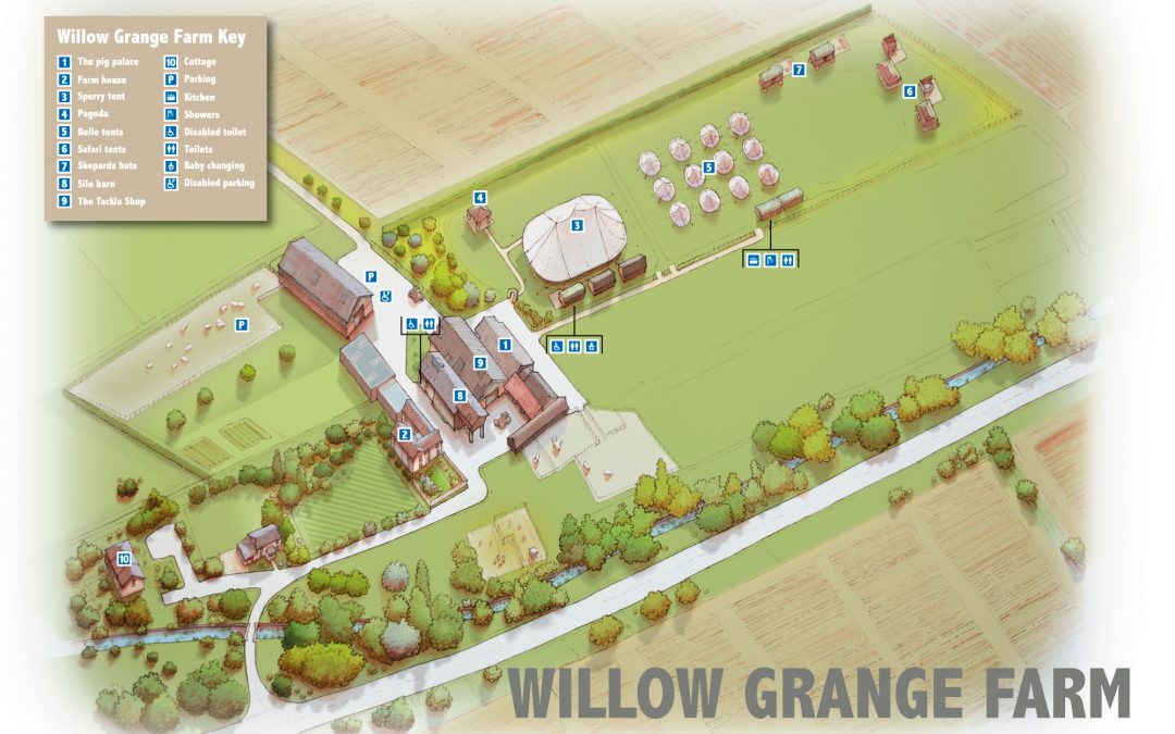 Illustrated map of the wedding venue Willow Grange Farm near Cambridge. Work was hand-drawn and then coloured up in photoshop and then annotated in...
 Graphic Design and illustration for advent calendars. The clients were https://www.hexconsultants.com/ , https://www.ten-25.co.uk/...

 Commercial and wedding photography, illustration and graphic design services. Based in Cambridge.