 Often in the production of illustrated maps it is necessary to highlight places of interest, this can be done in a number of ways. In this instance, the clients have chosen to overlay the road map with 3d digital drawings of buildings. All these buildings are...
 This illustrated map was shows the clients around the many buildings of this Dublin Hotel. The initial phase was conducted with several rough images being produced before approval of a full colour hand drawn version. This was then used as a template for the final...
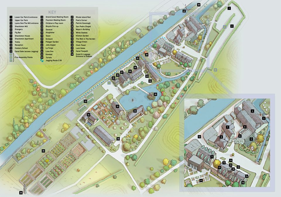
 Hand drawn illustrated map and walking guide for Grimsthorpe Castle, the work includes an aerial watercolour illustrated map of the castle and an accompanying digital 2D walking map showing the leisure activities available in the...
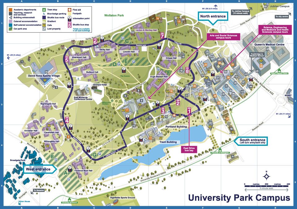 Illustrated maps of the three campuses that make up Nottingham...
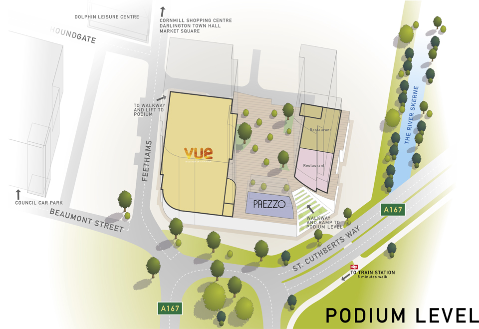 Working from Architects drawings and site photography my brief was to work out the eventual layout of the shopping development in 3D, allowing for the inclusion of information regarding which businesses are to occupy the vacant spaces...

 Commercial and wedding photography, illustration and graphic design services. Based in Cambridge.