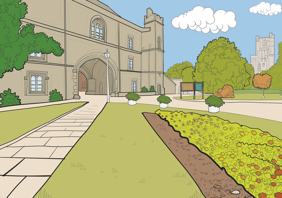
 Colouring book project focussing on the fine buildings of the City of Ely and The Kings...
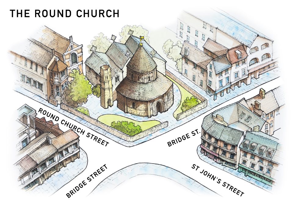 Three illustrated maps for the historic Round Church in Cambridge. Modelled on the Church of the Holy Sepulchre, the Round Church in Cambridge is founded between 1115 and 1131 by ‘the fraternity of the Holy Sepulchre’ and ‘in honour of God and the holy Sepulchre’. No...
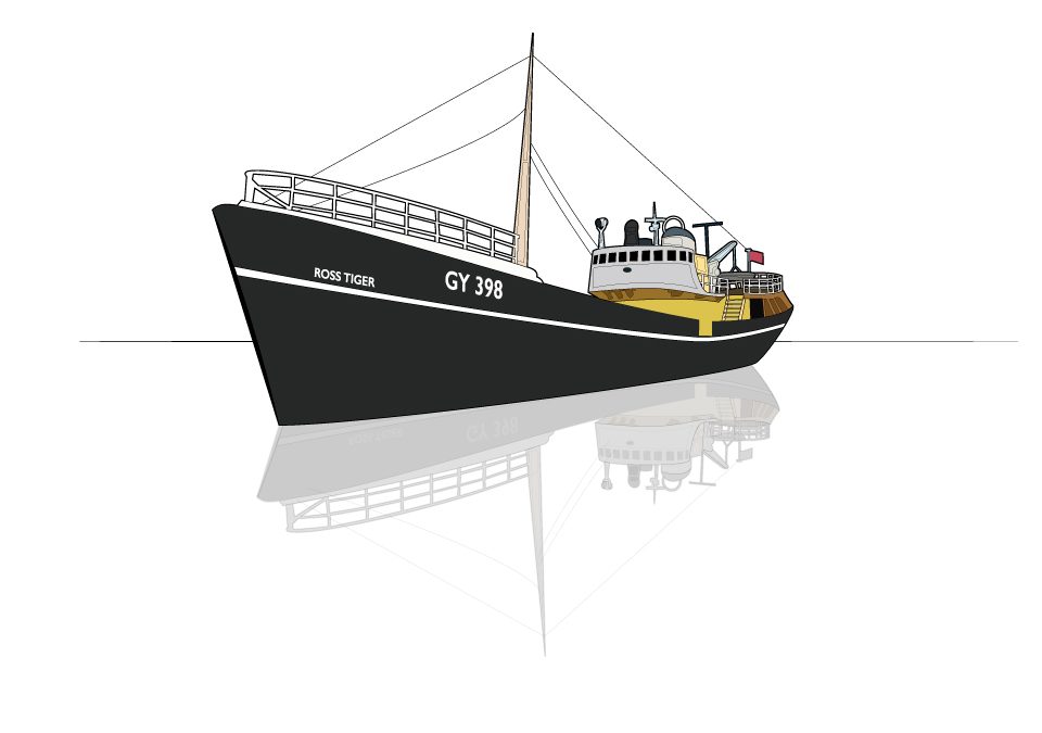 Often in the production of illustrated maps it is necessary to highlight places of interest, this can be done in a number of ways. In this instance, the clients have chosen to overlay the road map with 3d digital drawings of buildings. All these buildings are...
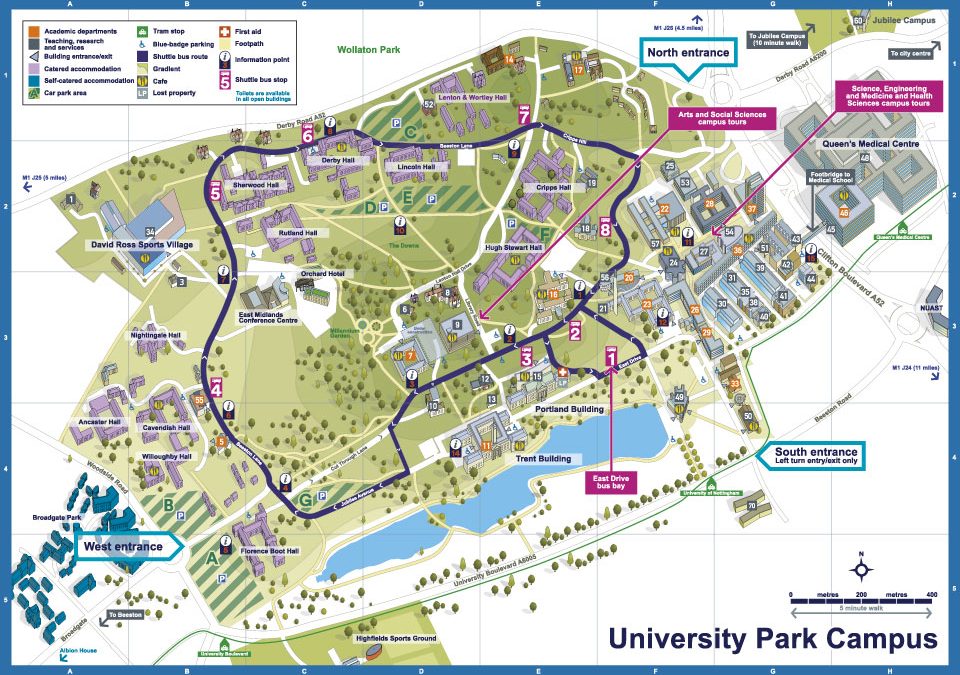 Illustrated maps of the three campuses that make up Nottingham...
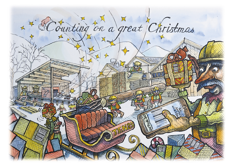 Illustration for the software company Ten-25 and Spirus...


 Commercial and wedding photography, illustration and graphic design services. Based in Cambridge.