
Services
Illustration
Maps
We specialise in cartography and offer a unique service to produce Illustrated Maps. In these, anything is possible – from a simple digital road map to a hand-drawn aerial version showing every building in a city.
General Illustration
Illustration
Richard Bowring Illustration
Illustration in all its forms is a large part of our business, we work in both traditional and digital media, from a simple line drawing to a complex computer created illustration.
Project Brief
Tell me about your project and vision.
Project Planning
Plan and budget with your input at the forefront.
Project Execution
I’ll make your vision a reality.

Think, Imagine, Commission
Your business is unique and your illustrations should demonstrate this. Ditch the same stock images that other people are using. Commission your own commercial illustrations.
01
Think about your illustration needs.
02
Imagine how they will look.
03
Commission me to make your vision a reality.
latest Illustration work
Illustration Blog

Watercolour cartoon for Computer Company Qstar
Two watercolour cartoons produced for the international computer storage company Qstar. We were asked to demonstrate the pitfalls of not using the appropriate electronic storage devices through the medium of a series of cartoon monsters.
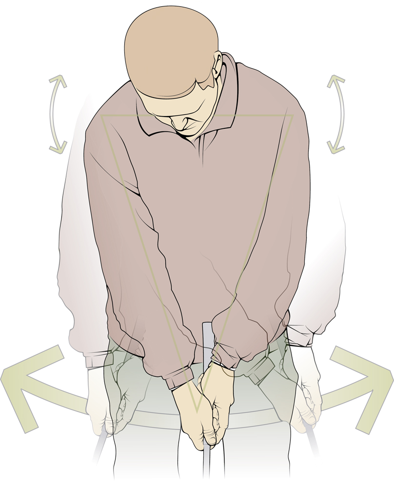
Pocket Pro Golf Illustrations
Illustration examples taken from Pocket Pro Golf book.

Ely City Guide Map Illustrations
A digital illustration for the city guide map of Ely. The double sided map included photography and illustration and three maps of Ely and the surrounding area. The brief was to provide an underlying illustrated map of the area while overlaying key buildings in a...
Get Started
Let’s Work Together

Illustration in all its forms is a large part of our business, we work in both traditional and digital media, from a simple line drawing to a complex computer created illustration.