
Services
Illustration
Maps
We specialise in cartography and offer a unique service to produce Illustrated Maps. In these, anything is possible – from a simple digital road map to a hand-drawn aerial version showing every building in a city.
General Illustration
Illustration
Richard Bowring Illustration
Illustration in all its forms is a large part of our business, we work in both traditional and digital media, from a simple line drawing to a complex computer created illustration.
Project Brief
Tell me about your project and vision.
Project Planning
Plan and budget with your input at the forefront.
Project Execution
I’ll make your vision a reality.

Think, Imagine, Commission
Your business is unique and your illustrations should demonstrate this. Ditch the same stock images that other people are using. Commission your own commercial illustrations.
01
Think about your illustration needs.
02
Imagine how they will look.
03
Commission me to make your vision a reality.
latest Illustration work
Illustration Blog
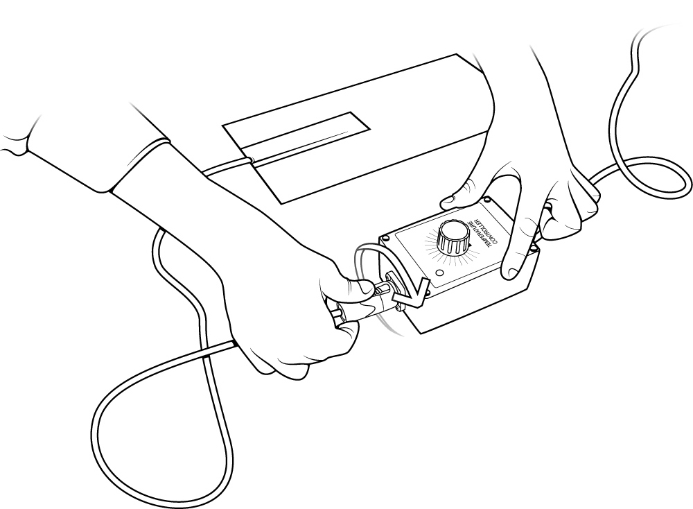
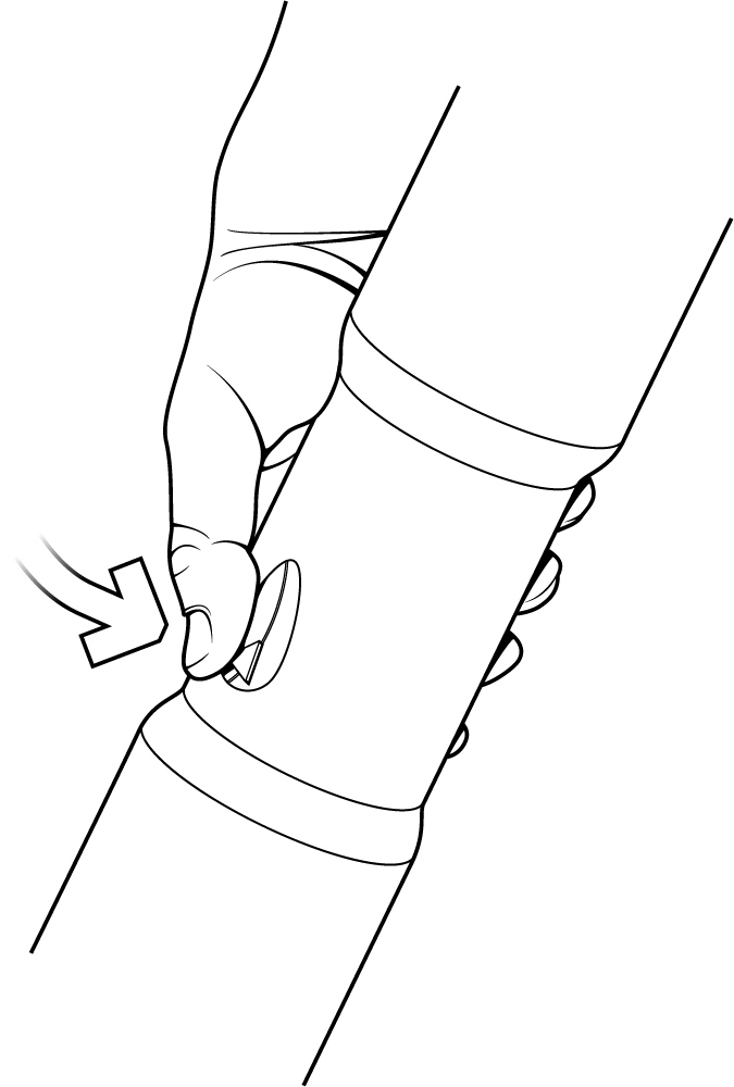
Technical Illustration for Holroyd Components
Technical Illustration for Holroyd Components, the product was a heated blanket used to heat junctions in pipes in order to activate the specially designed glue. - Illustration by Cambridge Illustrator Richard Bowring
Technical Illustration for Marble Product Design
Technical Illustration for Marble Product Design

Technical illustration for The City of Inverness
Another project for Mobimaps, this time an aerial illustrated map of the entire central City of Inverness. A real labour of love as you can probably see but as with all these large projects, the end justifies the means. A combination of aerial photography and Google...
Get Started
Let’s Work Together

Illustration in all its forms is a large part of our business, we work in both traditional and digital media, from a simple line drawing to a complex computer created illustration.