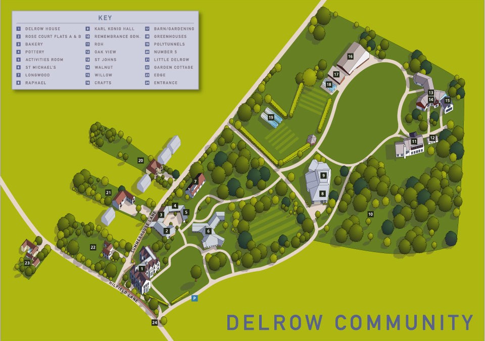
Aerial illustrated map for the Delrow community in Watford. The brief was to provide an accurate aerial view in the form of a digital 2d map showing the various accommodation and community buildings in this sheltered settlement. It was also necessary for me to allow time for a bit of architectural photography to help us to understand some of the more complex architecture and the relationship of the buildings to the environment. Commissioned by Lovell Johns
Illustrated map for the Delrow Community